Tag: Land use
FLAIR-HUB links multimodal Earth observation data to land cover mapping
—
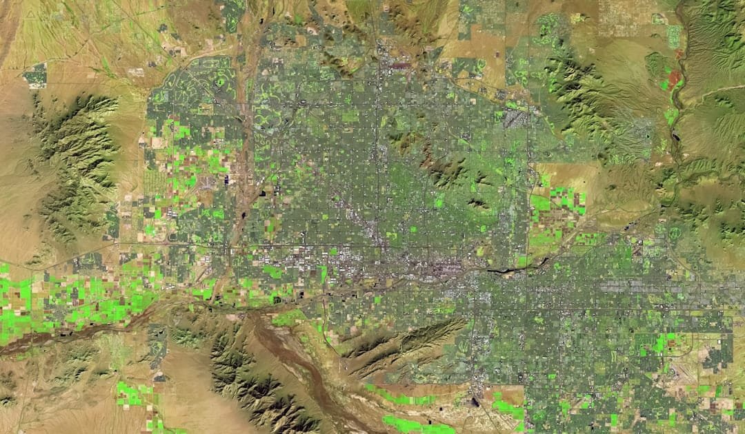
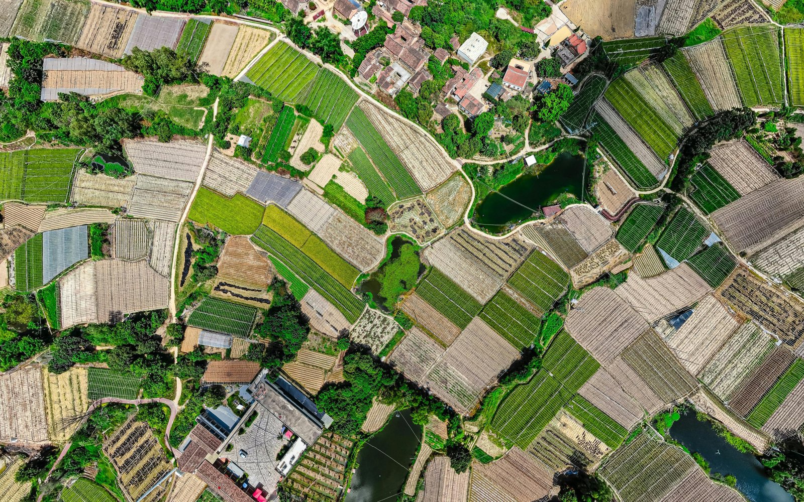
What the study found FLAIR-HUB is a large-scale, multi-sensor land cover dataset with very-high-resolution 20 cm annotations covering 2528 km2 of France. The study reports that the best land cover performance was achieved using nearly all modalities, and that multimodal fusion and fine-grained classification are complex. Why the authors say this matters The authors say…

FORESCEM simulates fine-scale land-use and land-cover changes
What the study found The study presents FORESCEM, a process-based model for simulating fine-scale future land use and land cover changes. The authors report that, in a French case study, the model could reproduce land-use and land-cover dynamics and simulate both trend-based and trend-breaking trajectories under contrasting scenarios. Why the authors say this matters The…

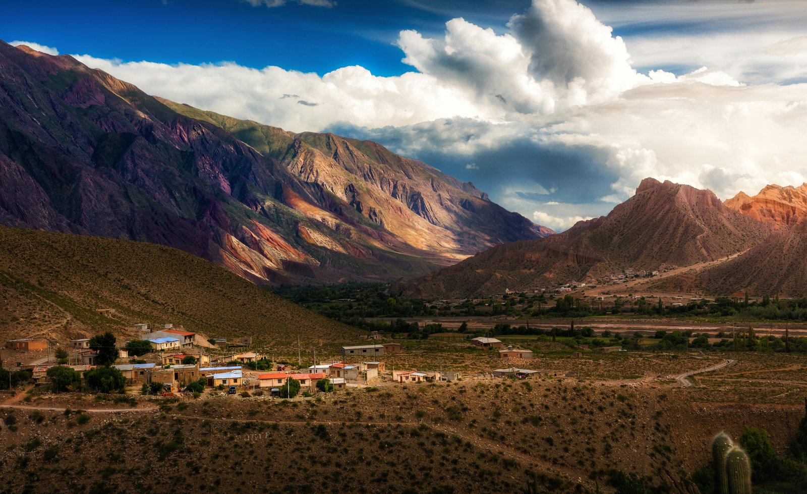
Outmigration shifts population and land use in northwest Argentina
—
Rural outmigration to emerging cities drives deagrarianization of marginal lands while enabling agricultural intensification in suitable areas across northwest Argentina’s High Monte region.

Croplands cool nights but have mixed daytime effects in tropical Africa
Cropland expansion across tropical Africa produces nighttime cooling but hydroclimatically-dependent daytime effects, driven by turbulent heat flux changes tied to vegetation differences.

Land-use change patterns differed between two highland regions
Comparative analysis of land use transformations in Polish and Argentine highland regions reveals location-specific social conflicts driven by divergent cropland trajectories and market integration.

Forestation in China is linked to water and ecosystem trade-offs
Synthesis of forest hydrological research in China examining ecohydrological processes, ecosystem service trade-offs, and management implications of large-scale forestation programs.

Landowners prefer higher compensation for some agri-environmental schemes
Choice experiment analysis of Danish landowners’ preferences for temporary versus permanent agri-environmental schemes, revealing policy design misalignment between implicit discount rates.

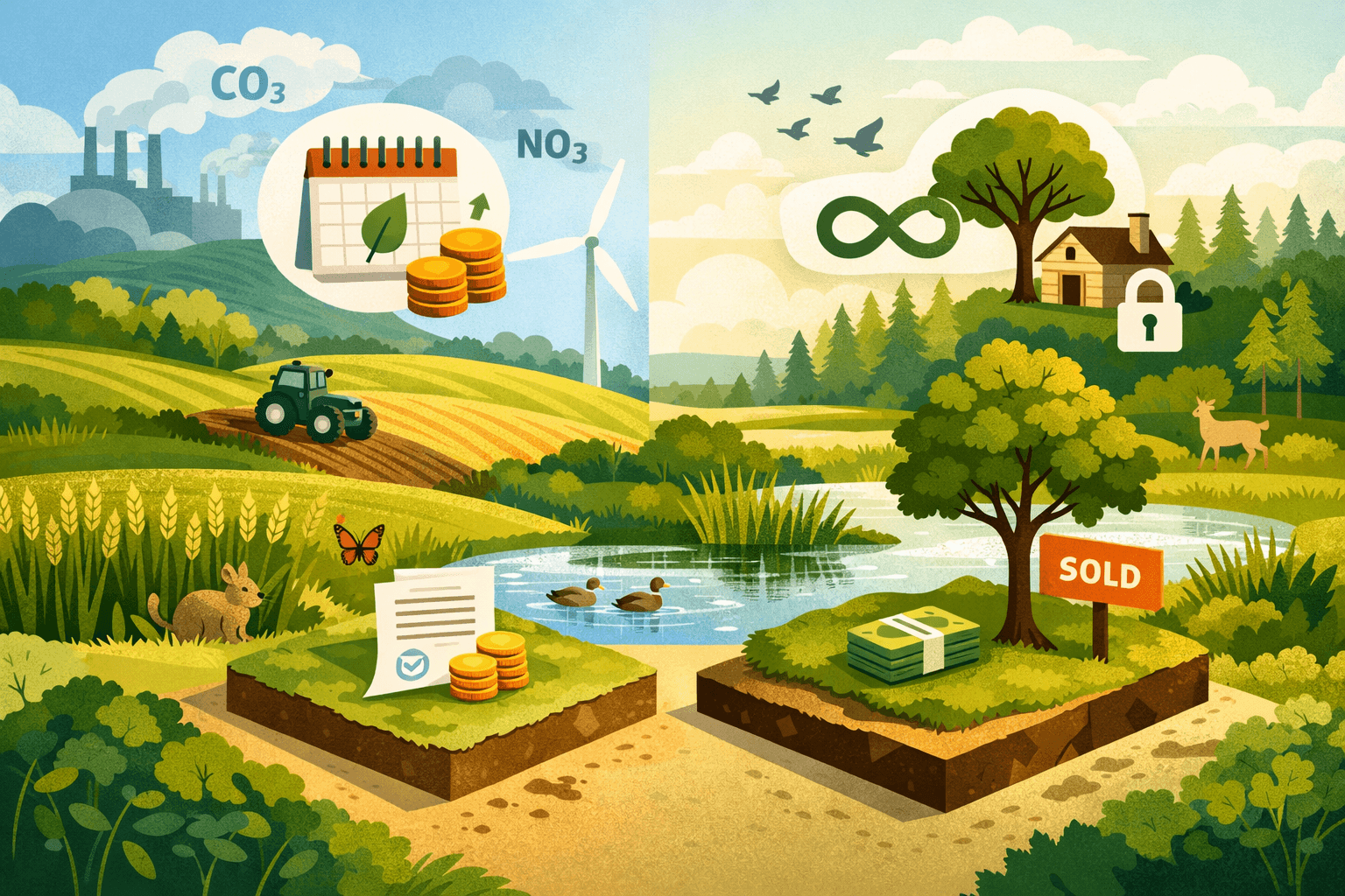
Framework proposed for feasible, equitable land-based climate mitigation
Framework integrating numerical modelling with stakeholder coproduction for feasible, equitable assessment of land-based climate mitigation technologies across governance levels.

Projected land cover change slightly increases flood discharge
Hydrologic impact assessment of projected land cover changes in Cijangkelok Watershed using ANN-based spatial prediction and HEC-HMS design flood simulation.

Flood susceptibility in the Kabul River Basin rises toward 2100
Projection of flood susceptibility in the Kabul River Basin through 2100 integrating climate, population, and land cover dynamics using XGBoost machine learning with high predictive accuracy.