
What the study found
Villages with similar location conditions and regional characteristics can still show different dominant functions across working days, weekends, and holidays. The study identifies four combinations of rural functions: agriculture and tourism, part-time competition, modern park type, and urban life type.
Why the authors say this matters
The authors say the study offers a useful attempt to use big data in rural geography. They conclude that the findings can provide a scientific reference for classifying rural revitalization strategies to promote rural development.
What the researchers tested
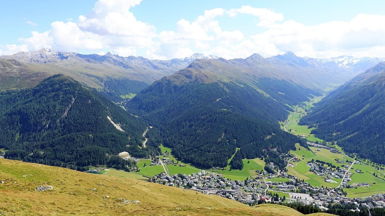
The researchers used mobile phone signaling location data to evaluate multi-functionality at the village scale. They built three functional index systems for residential, employment, and consumption functions in rural space and applied them to typical villages in Chongqing, a mountainous and hilly area.
What worked and what didn't
The approach produced a village-scale evaluation of rural multi-functionality and its influencing factors. The abstract reports that the same kinds of villages showed different dominant functions on different days, but it does not provide detailed quantitative results in the available summary.
What to keep in mind
The abstract does not describe detailed limitations beyond the study scope in Chongqing. It also does not provide the full evidence for the influencing factors or the criteria used to assign the four functional types.
Key points
- Mobile phone signaling location data were used to assess rural multi-functionality at the village scale.
- The study built three index systems covering residential, employment, and consumption functions.
- Villages with similar location conditions showed different dominant functions on weekdays, weekends, and holidays.
- The paper identifies four rural functional combinations: agriculture and tourism, part-time competition, modern park type, and urban life type.
- The authors say the study may help classify rural revitalization strategies.
Disclosure
- Research title:
- Chongqing villages show different dominant functions by day
- Publication date:
- 2026-02-24
- OpenAlex record:
- View
Get the weekly research newsletter
Stay current with peer-reviewed research without reading academic papers — one filtered digest, every Friday.