

AI Summary of Peer-Reviewed Research
This page presents an AI-generated summary of a published research paper. The original authors did not write or review this article. See full disclosure ↓
Publication Signals show what we were able to verify about where this research was published.STRONGWe verified multiple publication signals for this source, including independently confirmed credentials. Publication Signals reflect the source’s verifiable credentials, not the quality of the research.
- ✔ Peer-reviewed source
- ✔ Published in indexed journal
- ✔ No retraction or integrity flags
Overview
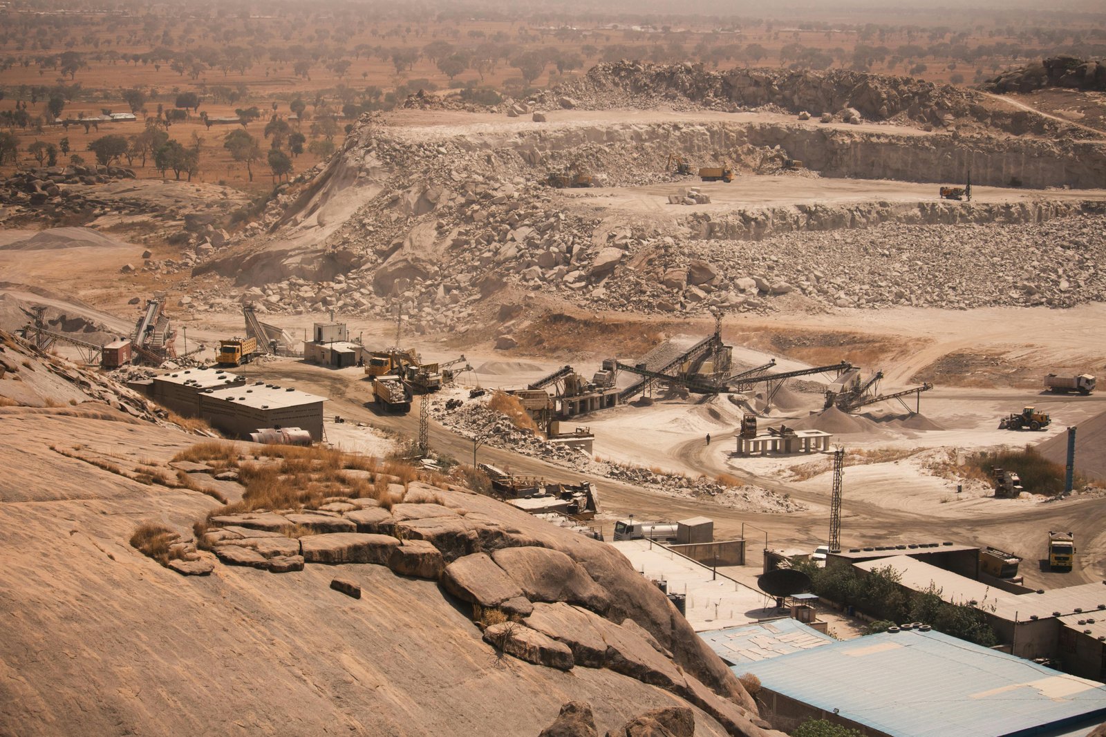
This study examined stone quarrying operations along River Mutonga in Imenti South, Meru County, Kenya, assessing their spatial distribution, temporal dynamics, and ecological and socio-economic impacts. Stone quarrying functions as a significant source of construction materials and livelihood opportunities in the region, yet generates substantial environmental and socioeconomic externalities. The research employed geospatial techniques and household surveys to characterize quarrying activities, their landscape transformations, and community-perceived impacts across ecological, economic, and safety dimensions.
Methods and approach
Geospatial analysis involved GPS-based mapping and high-resolution satellite imagery to identify active and abandoned quarry sites. Sentinel-2 satellite imagery from 2015, 2020, and 2025 were processed using the Random Forest classifier within Google Earth Engine to detect Land Use/Land Cover changes. A total of 20 quarry sites were geospatially identified and characterized by size. Household surveys were conducted to assess perceived ecological and socio-economic impacts of quarrying activities on the study population. The methodological combination of remote sensing classification and ground-based survey data enabled integrated assessment of spatiotemporal dynamics and social perception of quarrying impacts.
Key Findings
Spatial analysis identified 20 quarry sites (11 active, 9 abandoned) ranging from 0.15 hectares to 1.20 hectares, concentrated along the river corridor where granite deposits and accessibility facilitated extraction. LULC analysis between 2015 and 2025 documented marked landscape transformation: quarry areas increased by 0.18 square kilometers (61.8% expansion), while built-up areas expanded by 0.17 square kilometers (100%) and bare land by 2.23 square kilometers (56.03%). These increases reflect escalating demand for construction materials and intensifying anthropogenic pressures. Household surveys revealed dual-valenced impacts: quarrying generated positive economic contributions through household income and community development, yet generated substantial negative externalities including land degradation, vegetation loss, water pollution, and safety hazards from both active extraction sites and water-filled abandoned quarries.
Implications
The findings underscore significant environmental-economic trade-offs associated with unregulated stone quarrying in developing contexts. The documented expansion of extraction activities and associated landscape transformations indicate that current quarrying practices generate cumulative ecological impacts alongside livelihood benefits. The concentration of quarries along riparian zones suggests heightened vulnerability of aquatic and riparian ecosystems to degradation through direct habitat loss and pollution vectors. Policy frameworks require integration of post-extraction rehabilitation protocols, systematic environmental monitoring regimes, and enforcement mechanisms for land use regulations to mitigate documented ecological damage.
Scope and limitations
This summary is based on the study abstract and available metadata. It does not include a full analysis of the complete paper, supplementary materials, or underlying datasets unless explicitly stated. Findings should be interpreted in the context of the original publication.
Disclosure
- Research title: Environmental and socio-economic impacts assessment of stone quarrying along River Mutonga, Meru County, Kenya
- Authors: Roystone Bundi, Brian Rotich, Dennis Ojwang, Kennedy Chumar, Azaria Stephano Lameck, Paul Njue, Harison Kiplagat Kipkulei
- Institutions: Chuka University, Jomo Kenyatta University of Agriculture and Technology, Kenya Industrial Research and Development Institute, Mbeya University of Science and Technology, University of Augsburg
- Publication date: 2026-03-10
- DOI: https://doi.org/10.1007/s44288-026-00482-w
- OpenAlex record: View
- PDF: Download
- Image credit: Photo by LekePOV on Pexels (Source • License)
- Disclosure: This post was generated by Claude (Anthropic). The original authors did not write or review this post.
Get the weekly research newsletter
Stay current with peer-reviewed research without reading academic papers — one filtered digest, every Friday.