
What the study found
The study found that machine learning can enhance analysis of airborne radio-echo sounding data used to map ice-sheet bed topography. The authors highlight uses in denoising radar data, automatically picking radar returns, and improving spatial interpolation and uncertainty quantification.
Why the authors say this matters
The authors say this matters because these data help underpin models used to improve projections of sea-level rise. They also conclude that integrating machine learning throughout the workflow may help maximize the value of observations and guide future work in the Polar Regions.
What the researchers tested
This article is an overview of recent machine-learning advances relevant to ice-sheet airborne radio-echo sounding research. The authors draw on examples from the Antarctic and Greenland Ice Sheets and discuss current uses as well as possible roles in planning future surveys.
What worked and what didn't
The paper reports that machine-learning-driven approaches can outperform traditional methods for interpolation of basal topography. It also says there have been advances in machine-learning-based automated extraction of reflecting horizons from radargrams, while noting two current use areas and two possible future survey-planning areas.
What to keep in mind
The abstract does not describe detailed experimental design, sample sizes, or quantitative comparisons. It also does not specify which machine-learning methods were used in each example beyond the broad application areas mentioned.
Key points
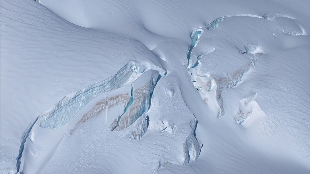
- Airborne radio-echo sounding is described as the main method for measuring ice-sheet thickness and deriving subglacial topography.
- Machine learning is highlighted for denoising radar data and automatically picking radar returns.
- The paper says machine learning can improve spatial interpolation and uncertainty quantification of flightline data.
- Examples from Antarctica and Greenland are said to show better interpolation of basal topography than traditional methods.
- The abstract says machine learning-based extraction of reflecting horizons from radargrams has also advanced.
Disclosure
- Research title:
- Machine learning can improve ice sheet bed mapping
- Authors:
- Steven Palmer, Charlie Kirkwood
- Institutions:
- University of Exeter, University of Exeter
- Publication date:
- 2026-04-23
- OpenAlex record:
- View
Get the weekly research newsletter
Stay current with peer-reviewed research without reading academic papers — one filtered digest, every Friday.