
What the study found
The study found that a model-based ridge-to-valley planning framework can be used to plan soil and water conservation in a semi-arid watershed. It also found that existing soil and water conservation measures were associated with a 26.17% reduction in runoff in the Chikkodi sub-watershed.
Why the authors say this matters
The authors say the approach is important for sustainable management of semi-arid watersheds. They suggest that improved watershed saturation can increase local water availability while supporting environmental flow downstream.
What the researchers tested
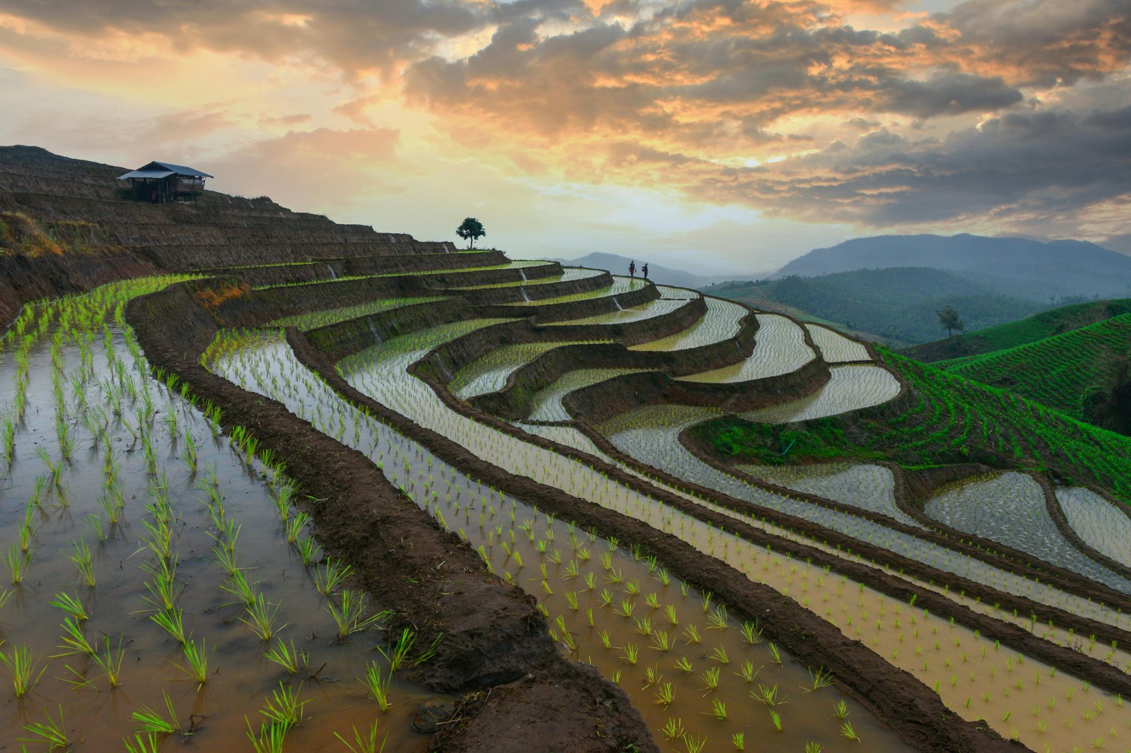
The researchers used the Soil and Water Assessment Tool, or SWAT, a hydrological model that simulates water movement in a watershed. They applied it to the Chikkodi sub-watershed and assessed existing soil and water conservation measures such as bunding, trenching, and check dams before recommending further planning.
What worked and what didn't
The baseline assessment showed a significant 26.17% runoff reduction from the combined effect of existing soil and water conservation practices. Based on the model outputs, the study recommends bunding and trenching in critical areas to intercept runoff at the source and maximize infiltration, and check dams to conserve remaining runoff along drainage lines.
What to keep in mind
The abstract does not describe specific limitations, uncertainty measures, or validation details. The findings are presented for one semi-arid sub-watershed, so the paper describes the method as flexible and transferable, but the abstract does not provide test results from other locations.
Key points
- The study used SWAT, a hydrological model, to plan soil and water conservation in a semi-arid watershed.
- Existing conservation measures in the Chikkodi sub-watershed were linked to a 26.17% runoff reduction.
- The authors recommend bunding and trenching in critical areas to intercept runoff and increase infiltration.
- They also propose check dams on drainage lines to conserve remaining runoff.
- The authors say improved watershed saturation can increase local water availability and support downstream environmental flow.
Disclosure
- Research title:
- Model-based planning improved watershed saturation planning in a semi-arid basin
- Authors:
- V.S. Patil, Nagraj S. Patil, Shruthi R. G
- Institutions:
- Visvesvaraya Technological University
- Publication date:
- 2026-02-23
- OpenAlex record:
- View
Get the weekly research newsletter
Stay current with peer-reviewed research without reading academic papers — one filtered digest, every Friday.